Thursday, December 26, 2013

NOV 7-11 Brunswick, GA to Palm Coast, FL

Just a quick update to Frank's Big Adventure part 1.  Marilou and I traveled down to Brunswick, GA on November 3rd to move the boat down to Palm Coast, FL - the last leg and final entry for Frank's Big Adventure, part 1.  During our 5 day trip we stopped at Fernandina, FL, Jacksonville, FL, St. Augustine for two days (during the annual pirate festival weekend no less) and finally Hammock Bay, the marina in Palm coast where the boat will remain until January.  I chose that marina because our good friends Val and Lisa (who are retired and living aboard) have their boat there - in the slip next to mine actually.
Part 2 of the big adventure will begin in early January, when I travel down to Ft Lauderdale, then wait for a weather window to cross over to the Bahamas around mid-January.

The crew leads such a hard life!

Caravan of sailboats heading south

A visit from my nephew Justin at Jacksonville, FL
 
Castillo de San Marcos Fort, St Augustine

Old town, St Augustine

This was actually very good!

I certainly don't need it, but what the hell...

Another hard day for the crew

Val and Frank - refueling at Palm Coast

Sunday, October 13, 2013

Oct 13 - Crescent River Anchorage, GA to Brunswick, GA (38 miles)

Today was another hurry up and wait day.  I was up at 0700, but had to wait on the tide to rise so I could pass the next and final hurdle of the ICW between me and Brunswick Landing Marina, where I’ll be leaving the boat for the next month or so.  I killed few hours piddling around the boat, then got underway at 0930.
Low tide

I arrived at Little Mud River (the next ICW problem spot) at 1130 and decided to anchor at the north end of the channel and wait a couple of hours for the tide to rise a bit more.

Killing time and flies

I waited until 1:00, then raised anchor and got underway.  I made it through the channel without incident and moored up at Brunswick Landing Marina at 1800, the end of Frank’s Big Adventure, part one.    
Lanier Island, GA

Brunswick Bridge and end of the line - for now!


Total miles traveled:  695 in 18 days at an average of 6 knots.

Saturday, October 12, 2013

Oct 12 - Possum Point, GA to Crescent River Anchorage, GA (44 miles)

I was up early, but had to wait for the tide to rise so I could tackle the next ICW trouble spot, a shallow cut called Hell Gate.  There was another sailboat in the anchorage ahead of me and when they didn’t get underway by 0800 I figured they were waiting for the same thing.  I planned on getting underway around 1100, which would put me at Hell Gate on a ½ rising tide.  I started prepping to leave around 1045 and noticed the other sailboat was getting underway, so I let them pass and I followed them out and south towards Hell Gate.  It’s good to be the second boat, particularly when passing through a shallow area (lets them pre-sound out any shallow spots for you).  Fortunately we both made it through fine, with the lowest depth I saw being 10 ft.
The rest of the day’s run was uneventful and I was anchored in Crescent River by 1800.  I’m within striking distance of Brunswick Landing Marina (37 miles) and  the end of my trip, but I have one more ICW trouble spot to pass (about 1 hour south of here) called Little Mud River and the timing of the tide is against me.  Looks like I’ll have to hang around here until 1200 or so pass Little Mud River on a partial rising tide, so I’ll either have to kill half the day waiting or try to make it through at low tide or close to it.  Not sure which I’ll do at the moment.
Crescent River Anchorage

Friday, October 11, 2013

Oct 11 - Beaufort, SC to Possum Point, GA (61 miles)

Bill and Tamera told me to hang around another day and I was sorely tempted, but as I’m getting near my destination and have been underway for almost three weeks, I had to take a pass at the invitation and put some miles under my keel.  I got underway and 0825 and had the best day’s run so far – 61.2 miles.  The weather was great (sunny, mid-80’s) and I arrived at the next ICW trouble spot (Fields Cut) at high tide, making the transit with no problems.  I crossed the Georgia state line at 3:00

Low tide

Georgia mansion

Interesting creek name

Beautiful Possum Point Anchorage

I was making such good time I bypassed the anchorage I planned on using and pushed on for another couple of hours, anchoring at scenic Possum Point at 6:30.

Oct 10 - Fenwick Island, SC to Beaufort, SC (24 miles)

Today's goal was the town of Beaufort, SC, a short run of 24 miles.  I enjoyed a late morning as I wanted to transit the Ashepoo Coosaw Cutoff (another ICW troublespot) at close to high tide.  Got underway at 1000 and was through the cut by 1115 with no problems.

What you don't want to meet in a narrow channel

Osprey nest

Red-neck party barge
Arrived at Beaufort around 1:30 and was moored at Lady’s Island Marina at 1:50.  Bill Kelly, a good friend of mine that I was stationed with in the Coast Guard met me at the dock and helped with the lines.  Bill (who recently retired from the CG) wife Tamera and son Sean are cruising the ICW – I last saw them a month or so ago at the Norfolk Naval Station MWR marina when they pulled in there for a few days while heading south.  Bill called earlier in the week and told me they were holed up at Lady’s Island Marina for a few weeks, so I decided to stop in for a day.  They invited me over for dinner and we grilled up some fine steaks, followed by a few rum and cokes and a glass or two from the bottle of homemade blueberry wine I brought over.  Great people and a great time.

Wednesday, October 9, 2013

Oct 9 - Charleston, SC to Fenwick Island, SC (44.9 miles)

I awoke to another day of blustery winds (18 with gusts up to 26+) and overcast skies.  I considered staying another day in Charleston, however I was itching to get moving so I got underway at 0915.  It was rough enough in Charleston harbor that I initially though I'd made a mistake by not staying put, but after I made the turn south the waves subsided and the shoreline blocked most of the wind.  It turned out to be a good choice, as the wind died down by noon and the sun came out with not a cloud in the sky. 

Max speed for the day (normal is around 6 knots)

Not snakes on a plane, but a crain on a barge!

After a good run today, I dropped anchor at Fenwick Island Anchorage at 4:00 PM.

Fenwick Island anchorage

Tuesday, October 8, 2013

Oct 8 - Charleston, SC

I had originally planned to head out today, but the wind and rain woke me up before my alarm went off, promising another windy, rainy day.  Based on the way the wind was howling through the rigging and the rain was pounding on the decks, I made a command decision to stay in Charleston another day, then rolled over in my bunk and sleep a few more hours.  A cold front passed through last night, so it’s also noticeably cooler today – the weather has been unseasonably hot during my trip (temps in the mid-80’s for many days) so I’m not complaining about a return to more normal, cooler temps. 
 After catching up on e-mails and working on some article deadlines, I unfolded my hog and biked around old town Charleston.

Horse drawn carriage

Old town market
On the way back, I stopped at a Harris Teeter and picked up some supplies.  I also got to use my fancy bike bag, which has got more pockets and bags than I ever thought I'd need, but it makes a great way to haul groceries back to the boat

Frank's grocery getter

Top view
I also converted the leftover pot roast from the other night into a huge pot of vegetable soup - a perfect meal for a rainy, windy today.

Oct 7 - McClellanville, SC to Charleston, SC (37 miles)

The words for today were wind and rain, and plenty of both.  Up at 0630 for an early start, but it was raining so hard I didn’t get underway until 0830.  I’ve had nothing but clear blue skies since departing Norfolk so I guess I can’t complain, but it was nonetheless pretty nasty until noon or so when the rain finally let up.  The good news is that I passed the next ICW trouble spot on a rising, almost high tide and had plenty of water. 
Shrimp boat graveyard

House in the middle of nowhere
I was cruising along deep in concentration on the charts when something breached right beside the helm, scaring the crap out of me.  They did it a couple of times and I managed to get a pic - not the best, but still probably the pic of the day.

The goal for today was an anchorage just up from another reported trouble spot 10 miles north of Charleston, SC.  I made better time than expected however, and arrived at that spot an hour or so before dead low tide (my original estimate) so I decided to gird my loins and push on to Charleston.  I saw a few sections that were 9’ deep, but otherwise made it through fine and was moored up at the Charleston Maritime Center docks at 2:45.

Charleston Bridge

Charleston Maritime Center docks

Sunday, October 6, 2013

Oct 6 - Georgetown, SC to McClellanville, SC (28 miles)

Underway at 0830 for a short travel day (28 miles) to a dock near the town of McClellanville, SC.  The reason for the short day was once again a dance with the tide schedules due to another bad stretch of ICW, this one just south of McClellanville.  I would have arrived at dead low tide, something not desirable if the horror stories left by other boaters online are to be believed.  Although I bucked some strong tidal currents after high tide (around 1000 or so) the trip was uneventful and I moored up at the LeLand Oil Company docks at 1250.  The other reason I tied up here is that it’s well protected and a cold front is forecasted to move through the area tonight, accompanied by some wind and rain.
The LeLand Oil Company dock is more a place for commercial fishing boats (shrimpers, clammers, etc) to tie up than a marina.
 It’s got an office and with showers and heads, but it’s rustic to say the least and there isn’t anything else – except plenty of no-see-ums (gnats that are essentially flying teeth) and more mosquitoes than you can shake a stick at.  The locals sit up on the dock with .22 rifles around dusk to see who can pick off the most mosquitoes before having to run inside and douse themselves in OFF.
That being said, it has a fairly new aluminum floating aluminum dock that’s easy to get on and off.  The only problem is that the entrance to the channel coming in is really shallow at low tide.  I saw around 6.5 feet coming in at ½ falling tide, which means I couldn’t get in (or out for that matter) anywhere near dead low tide.  High tide tomorrow is around 10:00, which means I’ll be leaving and transiting the reportedly shallow spots on a rising tide, giving me better depth and some assistance if I do ground.

A not so scenic sight leaving Georgetown - the paper mill

The South Island Ferry

Leland Oil Co. docks

Dock office

Oyster dredger

Finally, I've had a lot of folks ask what I've been eating during my trip.  Just to prove it isn't Vienna Sausage or Beenie-weenie, here's tonight's dinner - pot roast with all the trimmings.  I use a pressure cooker (the microwave of the 50's) and it works great.  I'll use the leftovers to make a big pot of homemade vegetable soup for tomorrow night.

Saturday, October 5, 2013

Oct 5 - Barefoot Landing, North Myrtle Beach, SC to Georgetown, SC (50 miles)

Up and underway at 0715 for the 50 mile run to Georgetown, SC.  NOAA weather radio called for early morning fog that was supposed to burn off by 0800 or so.  It was fairly clear  when I left the dock, but a few minutes later I was in the thick of it, with very limited visibility on and off for the next two hours.

Once the fog burned away, today’s leg was as laid back and stress-free as any so far.  The bulk of today’s travel was on the Waccamaw River, which was wide and deep.  I was able to use Crazy Ivan (my auto-pilot) for much of the day, which meant I could sit back and relax without having to constantly peer and steer from one navaid to the other.


I reached Georgetown and was moored up at the Harborwalk Marina at 14:45.
 

After tidying up the boat and paying my dock fees, I headed out by bike to see the town. Georgetown is a town rich in history, with a neat downtown area and lots of period houses with tree lined streets to bike along.


Georgetown is also a big cruising destination while traveling the ICW.  The big news here is a fire that occurred last week and burned down four adjacent buildings in the downtown area.  


Those buildings must have went up like a match - I could smell the smell of burned "fat lighter" pine wood (as we used to call it) or fat wood  http://en.wikipedia.org/wiki/Fatwood.  It smelled like the buildings were framed or built of it and that stuff is so flamable, we used to use it as a torch at night back on the farm when I was a kid.  We always had some of it near the fireplace or the wood stove in the winter to help start a fire.

The town is trying to spread the word that despite the fire, the town is open and ready for the fall cruisers.
Speaking of bikes, it's bike week here in Myrtle Beach.  Here's a picture of an unusual one I saw in Georgetown today.

Friday, October 4, 2013

Oct 4 - St James Plantation Marina, NC to Barefoot Landing, North Myrtle Beach, SC (37 miles)

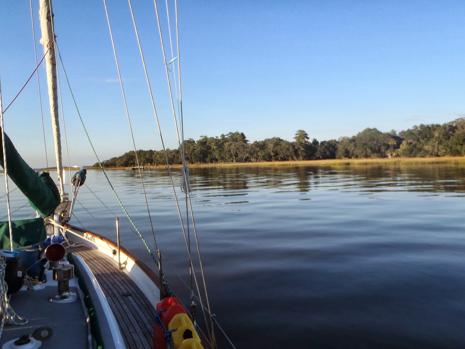
Up early this morning and underway at 0650 in efforts to arrive at the dreaded Lockwood Folly Inlet at high tide.  Lockwood Folly Inlet is a well-known ICW trouble spot with shifting shoals and shallow spots. Here’s a neat little blurb on how the area (possibly) got its name http://en.wikipedia.org/wiki/Lockwood_Folly_River   
I delayed my trip through yesterday afternoon to catch high tide and hopefully enough water to pass through the area with minimal problems this morning.  I was sweating it as I approached the inlet, but passed though at slack high tide and saw no less than 12 feet of water. 
The next potential trouble spot of the day was Shallotte Inlet, another area known for the same problems (shifting shoals and shallow spots in the charted channel).  I wasn’t as worried about this one, but it turned out to be the one that almost got me.  Passing through on a falling tide, I was going through the area at a slow speed and could actually see the shoaling extending into the center of the channel.  It was bad enough that I had to backtrack a bit and feel my way through towards the far right side of the channel to find good water.
The next challenge of the day was “the Rock Pile,” a narrow section of the ICW that is essentially a shallow channel blasted through solid rock.  So, now not only do you have to deal with a “skinny water” channel, but it’s not nice soft mud or sand at the bottom – it’s (again) solid rock. 
Another issue that can raise the anxiety level to CODE BROWN is that it’s also narrow to boot – too narrow to permit passage of a tug and barge and a pleasure boat going in the opposite direction.  If you encounter a barge and tug in the Rockpile your only option is to turn around and run like hell, which is why you are supposed to announce on the VHF radio that you are entering the Rock Pile and request any other vessel coming in the opposite direction to respond.  Fortunately I didn’t meet anyone and made it through with no issues.
Today’s goal was Barefoot Landing, which is essentially a shopping outlet mall of over 100 shops, stores and restaurants located along the ICW.  I pulled up to the long face dock (easy on and off) at 1300.  After cleaning up the boat, a little computer work, and a short power nap, I walked around the compound to check out the stores.  After buying a couple of items (one being a birthday present for my daughter - 16 in a couple of weeks), I had dinner at the Flying Fish Restaurant, came back to the boat and hit the rack in preparation for another early day.

Bubba no-gump

The Rock Pile

Moored at Barefoot Landing

Barefoot Landing shops